Top Story
Top Story
Flying International at IAH?
International check-in now at Terminal E for select airlines.
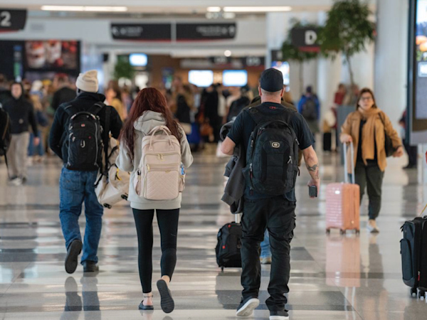
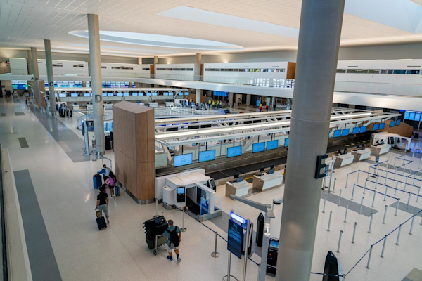
International passengers departing from George Bush Intercontinental Airport (IAH) will experience a new, streamlined check-in process.
As of March 3, Houston Airports has moved Air France, KLM and Lufthansa from Terminal D to the newly expanded Terminal E. Passengers are encouraged to confirm their check-in location directly with their airline before arriving at the airport.
The move marks a major milestone in the IAH Terminal Redevelopment Program (ITRP) and the beginning of its final phase.
Passengers will now check in at Terminal E, clear security at a 17-lane TSA checkpoint—which offers TSA Precheck and CLEAR+ — and then proceed to their departure gate. Lounge locations remain unchanged.
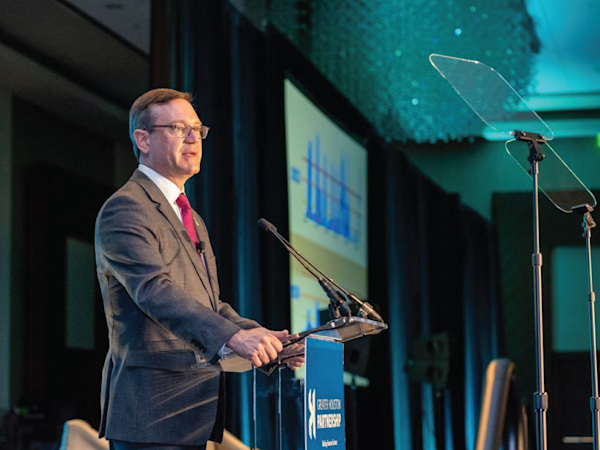
“This is about giving our passengers the world-class experience they deserve the moment they walk into the terminal,” said Jim Szczesniak, director of aviation for Houston Airports. “As we prepare to welcome soccer fans and introduce new nonstop flights to Rome this summer, Terminal E serves as a source of pride for Houstonians and reflects the city’s role as a leading international gateway and improves efficiency for our passengers.”

Terminal E Features:
- Self-service bag drop stations
- Self-service check-in kiosks — select an airline, choose a language, scan passport
- A 17-lane TSA screening area, one of the largest in the U.S.
- Expanded curb space with 11 departures lanes and 8 arrivals lanes
- Pre-security dining including hot food, coffee, alcohol and grab-and-go items
- Secure-side dining such as Einstein Bros. Bagels and Chick-fil-A
- A high-definition LED Oculus visible from both Departures and Arrivals levels
The new Amadeus bag drop system, widely used at major European airports, allows passengers of participating airlines to check luggage in just a few steps or receive help from an airline agent. IAH is the first airport in Texas and the second in the nation to deploy the technology.
 Supporting a Seamless Transition
-
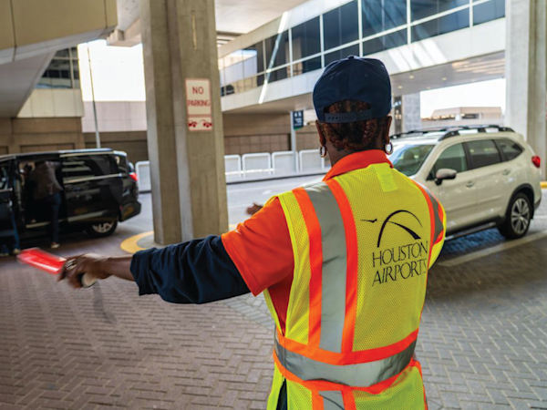
Customer service representatives in bright orange polos are stationed in Terminals D and E to assist passengers.
-
Air France, KLM and Lufthansa check-in counters now operate exclusively in Terminal E. Passengers arriving at Terminal D will be directed to make a 10-minute walk to Terminal E.
-
Parking access remains unchanged. International passengers may continue using the C/D/E Garage, or park in the A/B Garage, take the Subway directly to Terminal E and proceed to Departures.
Additional airlines will continue to transition from Terminal D to Terminal E in phases over the next few weeks.